
Scar House Reservoir Circular
Field Guide 005
⏱ 2h 40m
📏 9.1km
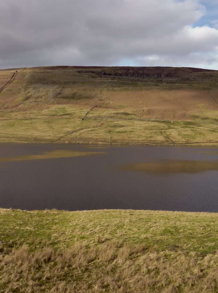
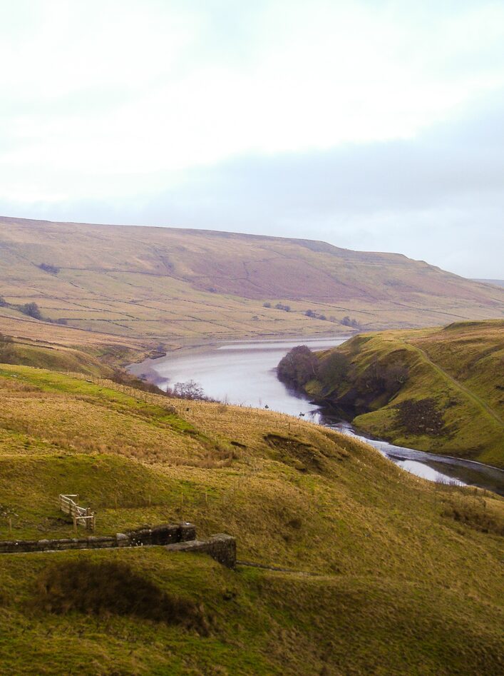
There’s a stillness to Upper Nidderdale that feels earned. The road narrows, the signal drops, and the landscape opens into something quieter, broader, and older than it first appears. Scar House Reservoir sits at the heart of it, a long calm stretch of water held between steep moorland sides, shaped as much by human need as by the land itself.
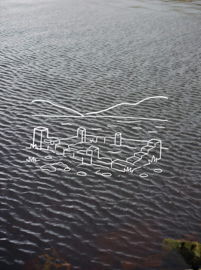
Built in the 1920s to supply water to the growing city of Bradford, the reservoir is an impressive feat of engineering, but it’s what lies beneath that gives the place its weight. When the valley was flooded, farms and homes were lost to the rising water, a small community erased, its footprint now hidden below the surface. On still days, when the water barely moves, it’s easy to imagine the outlines lingering below.
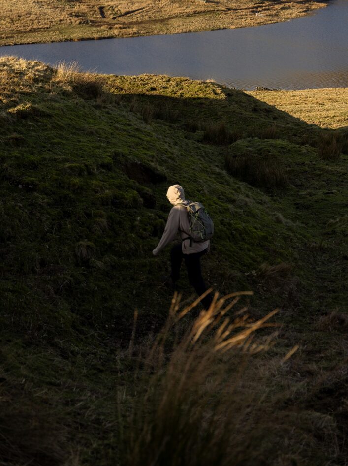
The circular route begins at the dam, crossing its vast stone face before following the eastern edge of the water. The path is steady and well defined, with a gentle rhythm that lets the surroundings do the talking. Heather underfoot, gritstone edges above, and the constant presence of water to your side. As the route curves north, the landscape begins to feel more remote. The path climbs gradually, pulling you away from the reservoir and up toward higher ground. This is where you meet Dead Man’s Hill. Stark and exposed, it carries the kind of name that comes from experience rather than imagination.
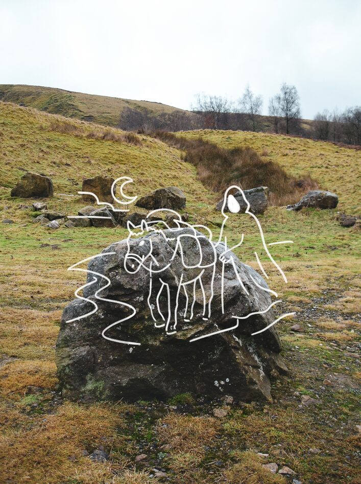
This stretch formed part of an old packhorse route, a working line through the hills long before modern roads cut through the valley. Traders once crossed here with goods strapped to their backs or loaded onto horses, moving between settlements in all conditions. In winter, the route would have been brutal. Ice, wind, and poor visibility turned a simple crossing into something far more dangerous. The hill’s name is a reminder of those who did not make it through.
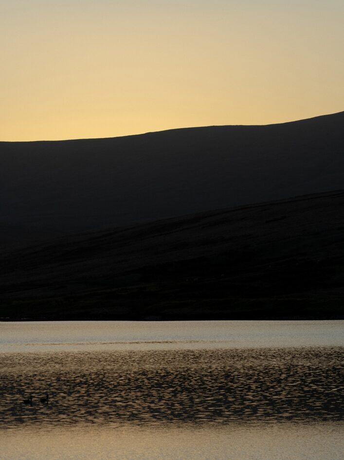
From the top, the view opens out across the reservoir and the surrounding moorland, a wide uninterrupted sweep of Nidderdale that feels both expansive and empty. It is a good place to pause, to take in the scale of it all, before descending back toward the western side of the water. The return leg is quieter still. The path traces the edge of the reservoir, with long stretches where the only sounds are wind, water, and the occasional call of a curlew overhead. There is a sense of distance here, not just from towns and roads, but from time itself.
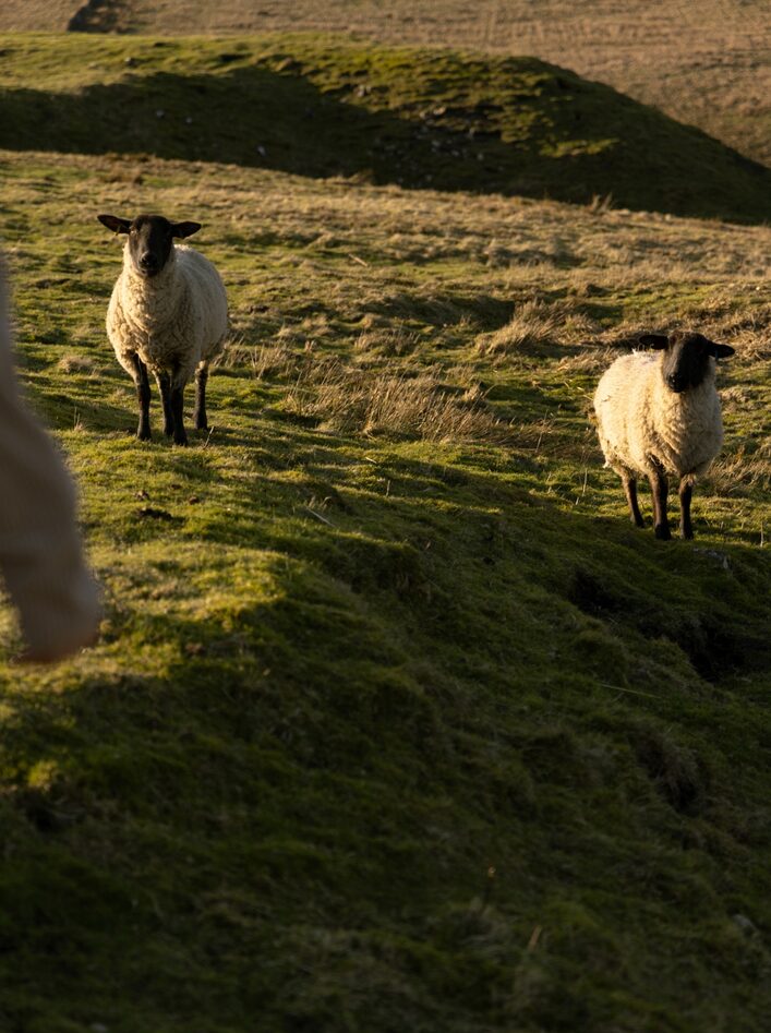
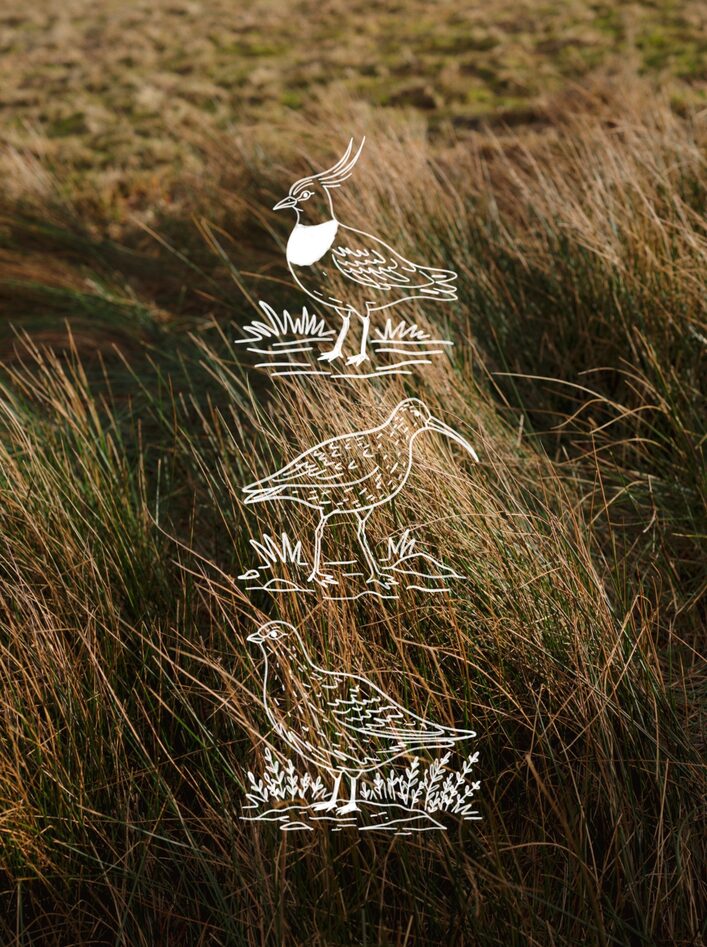
Wildlife is subtle but present. Curlews, lapwings, and red grouse are common across the moor, while the water can draw in waders and occasional ducks. You will more than likely encounter a lot of sheep. In late summer, the hillsides shift to deep purples as heather blooms, while autumn brings a muted palette of browns and golds.
Route Notes
- Start point: Scar House Reservoir car park with limited facilities and seasonal access road
- Terrain: Well defined paths with some rocky and uneven sections and gradual climbs
- Difficulty: Moderate with exposed sections, particularly around Dead Man’s Hill
- Best time to go: Late spring to early autumn for clearer conditions and longer daylight
- Weather: Fast changing, windproof layers recommended year round
- Navigation: Straightforward in clear weather, but low cloud can reduce visibility on higher ground
Scar House Reservoir is more than just a walk. It is a landscape shaped by necessity, marked by loss, and softened over time by nature. The water may have covered the past, but it has not erased it.
A place where industry, history, and moorland meet, and where the land still tells its stories if you take the time to listen.